McCoy Gulch - 2/2/17 version
Rick's Home Page
Click pictures to supersize.

McCoy Gulch is a BLM-managed area that has dirt roads and two hiking/horseback trails. The area is south of US Highway 50, about 4.3 miles east of Cotopaxi. The area is often rideable in winter because it doesn't get much snow, and the snow it does get usually melts quickly. Summer temperatures in this area can be uncomfortably high, so I don't recommend it - go west to the mountains instead.
The motorized routes are easy dirt County Roads and more difficult BLM dirt roads to several quarries. The total riding mileage is about 14 miles, so all the routes can easily be ridden in a day.
The map clip on the right ---> shows the three entrances to the area; two on the north end from Highway 50 and one on the south end on County Road 1A. Click the map to see a larger jpg version showing the entire area (print for reference).
Click Off-highway Vehicles and then "Cotopaxi South/Mccoy Gulch" on the lower right to get a pdf map of the area.
Click
Recreation to see a list of BLM areas.
Click
BLM Seasonal Closures page (NEW) to see the Royal Gorge Field Office Wet Weather Gate Status.
DIRECTIONS: From Cañon City, drive west on Highway 50 to Texas Creek, about xx miles. Drive about 3 more miles west to County Road 37. Turn left onto CR 37. There is a large private property equipment yard on the west side of CR37 - drive right past it.
An alternate entry to the area is BLM Road 6140, about 1.3 miles further west on Highway 50.
YouTube no-frills video - McCoy Gulch ride on 2/7/13 riding a Honda CRF230F
See Dual Sport Riding in Central Colorado for information about other areas and rides.


Granite quarry
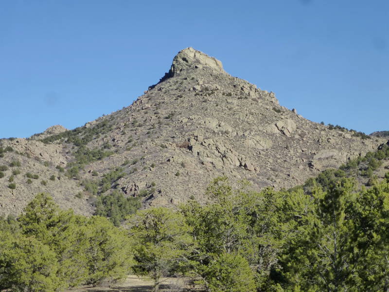
High peak --->

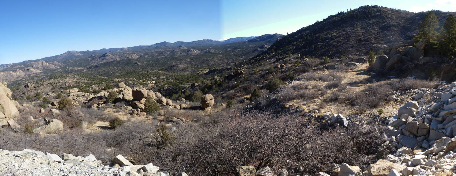
Looking southeast from quarry


Rick's Home Page